Germantown's 396-acre Central Business District at Poplar Avenue and Germantown Road is in ZIP code 38138 and zoned for Houston High School.
Last checked Oct. 18, 2026. Sources: the City of Germantown’s Smart Growth page, its Central Business District boundary layer and homeowners association map, Germantown Municipal School District’s school zone locator, the Tennessee Department of Education’s 2024-25 letter grades, the Zillow Home Value Index and OpenStreetMap. City customer service: 901-757-7200.
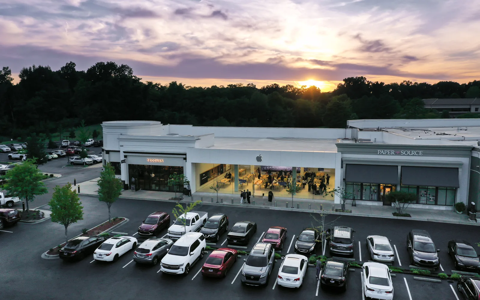
The Central Business District is Germantown’s commercial center, around the intersection of Poplar Avenue and Germantown Road. The city’s boundary layer puts it at 396 acres. Its land use plan is the 2007 Smart Growth Plan, approved by the Board of Mayor and Aldermen, and a special SmartCode replaces the regular zoning code inside it, setting building heights, setbacks, parking and allowed uses. City Hall, the library, the Germantown Performing Arts Center and the Saddle Creek shopping center are all here, with apartments and older subdivisions around them.
What this means for you
- High school: every point we checked is zoned for Houston High School. The elementary and middle schools split east and west.
- Home value: Zillow’s typical value in ZIP code 38138 was $429,441 in September 2026.
- Highway: Interstate 240 Exit 15 (Poplar Avenue) is about 3.6 miles west as the crow flies.
Where it is
On the city’s boundary layer, the district runs along Poplar Avenue from about Miller Farms Road east past Exeter Road, north along Germantown Road and Exeter Road past Farmington Boulevard to the Performing Arts Center, and south to the railroad and West Street. All of it is in ZIP code 38138 and inside the city limits.
Old Germantown, the historic core that grew up around the railroad after 1852, sits on the district’s southern edge along Poplar Pike and South Germantown Road. The city treats it as its own zoning district, where the Design Review Commission reviews building projects. Its depot, gardens and restaurants are in our Old Germantown guide; this page counts the streets south of the railroad with it.
Homes and homeowners associations
The city’s homeowners association map, which it uses to notify residents about city work and was last updated in February 2019, names these association areas in and around the district and Old Germantown: Cedar Ridge, Birnam Wood, Carters Grove, Radford, Poplar Park, Pinnacle, Sanders Ridge, Germantown Manor, Old Village, Hidden Glen and Moore. Together they cover about 270 acres. To check whether an association covers a particular lot, read the deed and the recorded plat at the Shelby County Register of Deeds.
Schools
We checked 32 points across the area in Germantown Municipal School District’s zone locator. All returned Houston High; 22 returned Riverdale K-8 for the lower grades and nine returned Farmington Elementary and Houston Middle, with one point in the Dogwood Elementary zone. The split follows the streets, so look up the exact address.
| School | Address | Grades | 2024-25 state grade |
|---|---|---|---|
| Riverdale K-8 | 7391 Neshoba Road | K-8 | B |
| Farmington Elementary | 2085 Cordes Road | K-5 | B |
| Houston Middle | 9400 Wolf River Blvd. | 6-8 | C |
| Houston High | 9755 Wolf River Blvd. | 9-12 | A |
Grades are from the Tennessee Department of Education’s 2024-25 A-F letter grades; full results are on the Tennessee State Report Card. Germantown Elementary, Germantown Middle and Germantown High, which have the city’s name, are run by Memphis-Shelby County Schools. More in our schools guide.
Home values
Zillow’s Home Value Index for ZIP code 38138 was $429,441 in September 2026, down 1.7% from $436,891 in September 2025, according to the Zillow Home Value Index (Zillow Research). The figure for the whole city was $480,889, down 1.1%. The index is a modeled typical value for the middle third of homes across the ZIP code, not a sale price, and 38138 also covers most of the west side of the city. More in home prices.
Parks and trails
From the city’s parks and amenities page:
- Municipal Park, 1900 S. Germantown Road: 17 acres with six lighted tennis courts, a fishing lake, a playground and the John Gray House.
- Depot Park, 2260 West St.: two acres at the railroad with the restored train depot.
- Oaklawn Garden, 7831 Poplar Pike, and C.O. Franklin Park, 7745 Poplar Pike, just south of the district, home of the Germantown Festival.
- Bobby Lanier Farm Park, 2660 Cross Country Drive, part of the Civic Club Complex, about half a mile south.
More in parks and trails.
Getting around
- Interstate 240: Exit 15 (Poplar Avenue) is about 3.6 miles west as the crow flies; State Route 385 at Hacks Cross Road is about 4.3 miles south (OpenStreetMap).
- Memphis International Airport: about 15 miles by road, measured on the OpenStreetMap road network. That is a distance, not a drive time.
- Buses: in the Memphis Area Transit Authority’s schedule data, Route 50 Poplar stops along Poplar Avenue here and loops on Farmington Boulevard, Germantown Road and Exeter Road by the Municipal Center. Check the MATA routes page before you ride. More in getting around.
Groceries and everyday stores
From OpenStreetMap:
- Kroger, 7735 Farmington Blvd.
- Trader Joe’s, 2130 Exeter Road.
- Whole Foods Market, on Poplar Avenue near Exeter Road.
- Walgreens, Poplar Avenue at Germantown Road.
- The Saddle Creek shopping center, on Poplar Avenue at West Farmington Boulevard.
More neighborhoods
The Central Business District is one of the areas in our Germantown neighborhoods guide. Next door: Neshoba and the Wolf River District to the north, Farmington to the east and English Meadows and Mimosa to the southwest.
Map data © OpenStreetMap contributors. District and association boundaries: City of Germantown GIS. School zones: Germantown Municipal School District.
Frequently asked questions
Where is the Central Business District in Germantown, Tennessee?
Around the intersection of Poplar Avenue and Germantown Road. The city’s boundary layer puts it at 396 acres, with Exeter Road, Farmington Boulevard and the Municipal Center at 1930 S. Germantown Road inside it.
What schools serve Germantown’s Central Business District?
Houston High School for every point we checked. The west side is zoned for Riverdale K-8 and the east side for Farmington Elementary and Houston Middle, so check the address in the district’s zone locator.
What is the typical home value near downtown Germantown?
Zillow’s Home Value Index for ZIP code 38138 was $429,441 in September 2026, down 1.7% from a year earlier. It is a modeled typical value for the whole ZIP code, not a sale price.
Is Old Germantown part of the Central Business District?
They touch. Old Germantown, the city’s historic core along the railroad, Poplar Pike and South Germantown Road, has its own zoning district; the depot at 2260 West St. sits on the business district’s southern edge.
Have your say