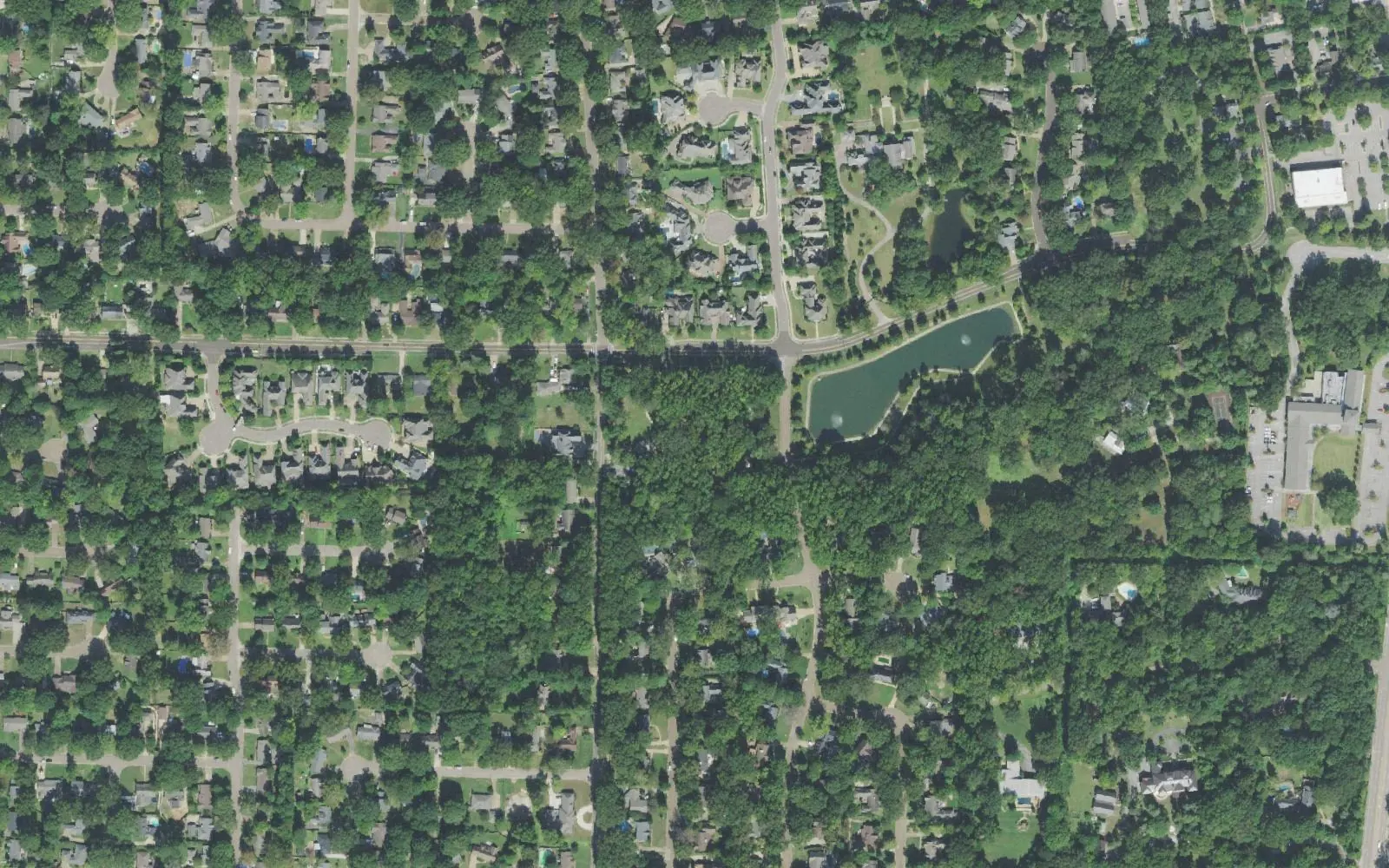
English Meadows and Mimosa, on Germantown's southwest side in ZIP code 38138, are zoned for Riverdale K-8 and Houston High, near Howard McVay Park.
Last checked Oct. 18, 2026. Sources: the City of Germantown’s homeowners association map and parks and amenities page, Germantown Municipal School District’s school zone locator, the Tennessee Department of Education’s 2024-25 letter grades, the Zillow Home Value Index and OpenStreetMap. City customer service: 901-757-7200.
English Meadows and Mimosa are the largest names on Germantown’s southwest side, the residential streets south of Poplar Avenue and west of Old Germantown. On the city’s homeowners association map, English Meadows covers about 193 acres, and the Mimosa and Mimosa Gardens areas together about 115. McVay Road and Riverdale Road are the main streets, and Howard McVay Park is the neighborhood park. The area is houses and streets; the stores are a mile or so north on Poplar Avenue.
What this means for you
- High school: every point we checked that loaded is zoned for Houston High School, with Riverdale K-8 for kindergarten through eighth grade.
- Home value: Zillow’s typical value in ZIP code 38138 was $429,441 in September 2026.
- Highway: Interstate 240 Exit 15 (Poplar Avenue) is about 3.1 miles northwest as the crow flies.
Where it is
On the city’s homeowners association map, the area runs south from the Poplar Avenue and Poplar Pike corridor to the city’s southwest corner, between the Memphis line on the west and South Germantown Road on the east. McVay Road, Riverdale Road, Sunset Road, Mimosa Drive and Foster Ridge Road run through it. All of it is in ZIP code 38138.
Homeowners associations
The city’s association map, which it uses to notify residents about city work and was last updated in February 2019, names English Meadows, Foster Ridge Bromley, Mimosa Gardens, Sunset Road, Mimosa, The Oaks, Wildwood Oaks, The Hill, Cotton Plant, May Woods and Turpins Glen here, about 620 acres in all. To check whether an association covers a lot, read the deed and the recorded plat at the Shelby County Register of Deeds.
Schools
Of 22 points we checked in Germantown Municipal School District’s zone locator, 21 returned the same schools; one did not load.
| School | Address | Grades | 2024-25 state grade |
|---|---|---|---|
| Riverdale K-8 | 7391 Neshoba Road | K-8 | B |
| Houston High | 9755 Wolf River Blvd. | 9-12 | A |
Grades are from the Tennessee Department of Education’s 2024-25 A-F letter grades; full results are on the Tennessee State Report Card. Riverdale is north of Poplar Avenue, about 1.6 miles away; Houston High is about 5 miles northeast. More in our schools guide.
Home values
Zillow’s Home Value Index for ZIP code 38138 was $429,441 in September 2026, down 1.7% from $436,891 in September 2025, according to the Zillow Home Value Index (Zillow Research). The figure for the whole city was $480,889. The index is a modeled typical value for the middle third of homes across the ZIP code, not a sale price. More in home prices.
Parks and trails
From the city’s parks and amenities page:
- Howard McVay Park, 7335 McVay Road: 14 acres with a hiking trail, two playgrounds and a fishing lake.
- Depot Park, 2260 West St., in Old Germantown just to the east, with the restored train depot.
- C.O. Franklin Park and Oaklawn Garden on Poplar Pike, and Bobby Lanier Farm Park, 2660 Cross Country Drive, all part of the Civic Club area about a mile east.
More in parks and trails and walking and biking trails.
Getting around
- Interstate 240: Exit 15 (Poplar Avenue) is about 3.1 miles northwest; State Route 385 at Hacks Cross Road is about 3.6 miles southeast, both as the crow flies (OpenStreetMap).
- Downtown Germantown: about 1.4 miles by road to Poplar Avenue at Germantown Road, and Memphis International Airport about 13.5 miles, both measured on the OpenStreetMap road network. These are distances, not drive times.
- Buses: the Memphis Area Transit Authority’s schedule data show no stops inside the area; Route 50 Poplar runs along Poplar Avenue to the north. Check the MATA routes page. More in getting around.
Groceries and everyday stores
OpenStreetMap shows no supermarket or pharmacy inside the area. The nearest, about a mile north in the Central Business District, are:
- Kroger, 7735 Farmington Blvd.
- Walgreens, Poplar Avenue at Germantown Road.
More neighborhoods
English Meadows and Mimosa are among the areas in our Germantown neighborhoods guide. Next door: the Central Business District and Old Germantown to the east, Poplar Estates across Poplar Avenue and Oakleigh and Germantown Station to the southeast.
Map data © OpenStreetMap contributors. Association boundaries: City of Germantown GIS. School zones: Germantown Municipal School District.
Frequently asked questions
Where is English Meadows in Germantown?
On the southwest side, south of Poplar Avenue and west of Old Germantown, around McVay Road and Riverdale Road. The city’s homeowners association map shows English Meadows at about 193 acres, the largest association area on that side.
What schools serve English Meadows and Mimosa?
Every point that loaded in the district’s zone locator returned Riverdale K-8 and Houston High. Riverdale earned a B and Houston High an A on Tennessee’s 2024-25 letter grades.
What park is near English Meadows?
Howard McVay Park, 7335 McVay Road: 14 acres with a hiking trail, two playgrounds and a fishing lake, according to the city.
What is the typical home value in English Meadows?
Zillow’s Home Value Index for ZIP code 38138 was $429,441 in September 2026, down 1.7% from a year earlier. It is a modeled typical value for the ZIP code, not a sale price.
Have your say